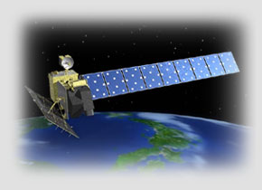
Japanese Earth Resources Satellite "FUYO-1" (JERS-1)

Launch Date
End of Operation
Altitude
Weight
Revisit Time
Antenna Size
Wavelength
Resolution
Off-nadir Angle
Scan Width
February 11, 1992
October 12, 1998
Approx. 570 km
Approx. 1.4 t
44 days
12 m x 2.2 m
L-band (23.5 cm)
18 m
35 degrees
75 km
JERS-1 was launched jointly by NASDA (at that time) and MITI (at that time) with the primary objective of gathering data on resource surveying. In addition to SAR, JERS-1 was equipped with two types of optical sensors.
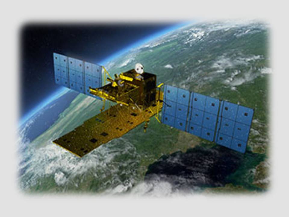
Advanced Land Observing Satellite "Daichi" (ALOS)
Launch Date
End of Operation
Altitude
Weight
Revisit Time
Antenna Size
Wavelength
Resolution
Off-nadir Angle
Scan Width
January 24, 2006
May 12, 2011
Approx. 690 km
Approx. 4 t
46 days
8.9 m x 3.1 m
L-band (23.6 cm)
7 - 44 m
8 - 60 degrees
40 - 70 km
ALOS was launched by JAXA with the primary objective of gathering data on mapping, disaster monitoring, and resource surveying. ALOS was one of the largest earth observation satellites in the world, which is used for precise land coverage observation.
Advanced Land Observing Satellite-2 "Daichi-2" (ALOS-2)
Launch Date
Designed Lifetime
Altitude
Weight
Revisit Time
Antenna Size
Wavelength
Resolution
Off-nadir Angle
Scan Width
May 24, 2014
5 years
(Target: 7 years)
Approx. 630 km
Approx. 2 t
14 days
10 m x 3 m
L-band
(23.3 - 24.2 cm)
1 - 100 m
8 - 70 degrees
25 - 490 km
ALOS-2 was launched by JAXA as a successor to ALOS. ALOS-2 has higher resolution, wider observable area and better data transfer capacity than ALOS. ALOS-2 will greatly contribute to the efficient management of land and environment conservation.